PAS 128 Underground Utility Detection and Mapping
Accurately mapping the location of on-site utilities is critical for many projects. Locating these allows for construction operations such as piling, excavations and groundworks to be carried out safely and without risk of damaging existing infrastructure.
Our utility surveys provide the vital information required to avoid the disruption and expense of a utility strike.
We work under PAS 128 – the specification produced by the British Standards Institution (BSI) for utility surveys.
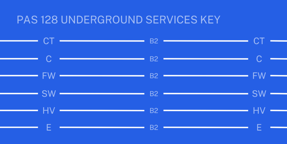
Using our ground penetrating radar (GPR), electromagnetic location (EML) tools, along with our Reduct gyroscopic system, we can locate water, gas and electricity, telecommunications and communications cable systems, oil and fuel pipelines, drains, sewers, culverts, duct and tunnel systems.
We use CAD software to process data and deliver high quality comprehensive plans of all utilities found on the site. We can either map our findings on drawings supplied by our clients, or on our own topographic survey. Reports can also be produced on request. For projects requiring more specialised surveys of deeper utilities such as sewer line-and-level and condition, take a look at our Line and Level services.
Ground penetrating radar (GPR)
If you’re looking to find and mark out buried services, underground tanks, voids or other features beneath a site, we’re on hand with our GPR tool.
An integral part of our suite of buried services location techniques, GPR operates by transmitting pulses of high frequency radio waves into the ground to map metallic and non-metallic sub-surface structures and features. The tool can work at varying depths dependent on the ground conditions and size of the object. Our team uses two types of GPR unit – an Opera duo and dual antenna Hi-Mod IDS unit. Our experienced surveyors interpret the radargram results and generate a report mapping out existing features and services.